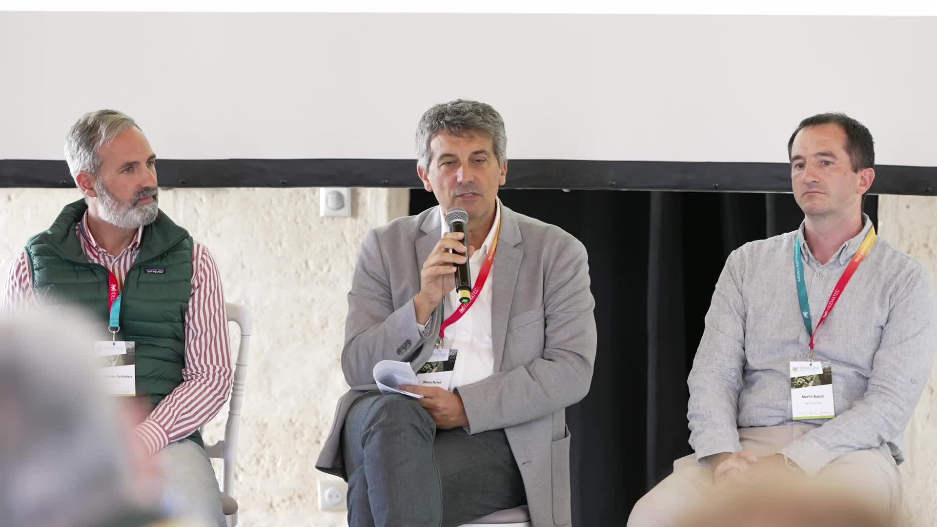
Recording from Wednesday, October 14, 2026 | AgriVoltaics Industry Forum Europe | Language: English | Duration: 4:32 .
The speaker discusses the calibration of LiDAR measurements, stating that it can be done once for algorithm application on various satellite imagery, including both commercial and open satellites. The methodology is replicable with satellites like Sentinel-2 and Bv3, and adjustments are necessary to align satellite data with ground level data. The future goal includes collecting hyperspectral data to improve accuracy.
Automated summarization by AI Conver
This session explores how advanced monitoring, simulation and operational experience can improve the performance and understanding of agrivoltaic systems. Presentations will cover agricultural forecasting and monitoring approaches, including the use of very high-resolution satellite remote sensing for quantitative crop assessment in AgriPV applications.
The session will also provide practical insights from farmers on machinery optimization and day-to-day operation within agrivoltaic environments. By combining digital monitoring tools with field experience, the discussion will highlight how data-driven decision-making and operational best practices can support productive, efficient and farmer-friendly AgriPV systems.
Further Talks of this session:
Speaker
Stephan Schindele
Chief Sales Officer
Vista
Speaker
Marco Ferrari
Senior Researcher
ENI SPA
Speaker
Merlin Batzill
Owner and Director
BB Energie GbR